On April 13th we celebrated our first year on the road and are happy to report that we still love our nomadic lifestyle and have thoroughly enjoyed the freedom it has provided us. We still find our motorhome to be perfectly comfortable (although it does feel a bit “cozy” when we have 2 clothes lines up inside to dry out wet gear after hiking/camping in the rain). Our relationship continues to thrive despite (or because of) living in such tight quarters. Our only regret is that we couldn’t start living this way sooner than we did.
Where we have been – Zion National Park and Bryce Canyon National Park in Utah as well as the Coyote Buttes in Arizona
4/9 – 4/28 2011
In this post:
Utah
Utah
- Dayhikes to Angels Landing and Observation Point in Zion National Park
- Backpack trip – 3 days/2 nights on East Rim Trail to Deertrap Mt in Zion National Park
- Dayhike to “The Subway” in Zion National Park
- Dayhike in Bryce Canyon National Park
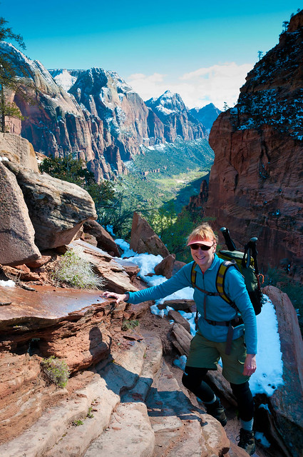
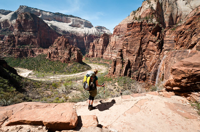
After leaving the wet and dreary Pacific Northwest we headed for the land of blue skies and red rock – southern Utah! Our first stop was Zion National Park and our first hike was the extremely popular trail to Angels Landing. This improbable trail switchbacks steeply up a narrow canyon ending as a narrow ridge climb with the assistance of chains to hang on to.
This wasn't our first time so we expected lots of people but happily we were late enough in the day that the usual crowds had dissipated so we had it largely to ourselves.
Jean on the way to the top of Angels Landing in Zion National Park, Utah
This wasn't our first time so we expected lots of people but happily we were late enough in the day that the usual crowds had dissipated so we had it largely to ourselves.
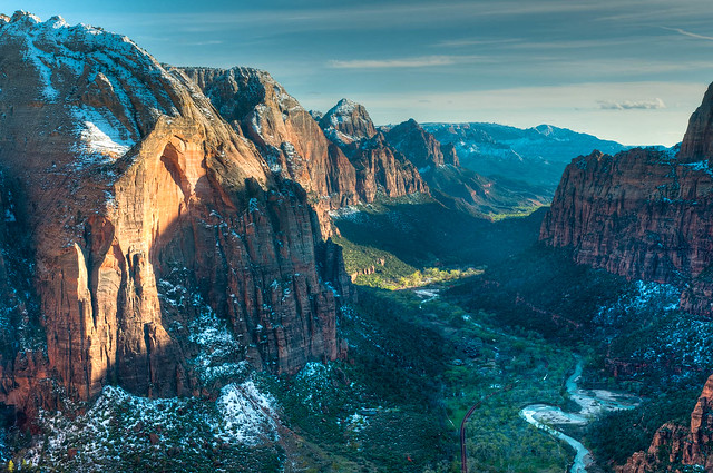
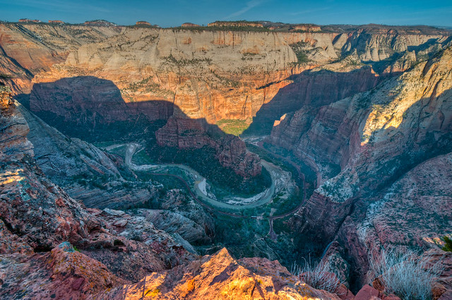
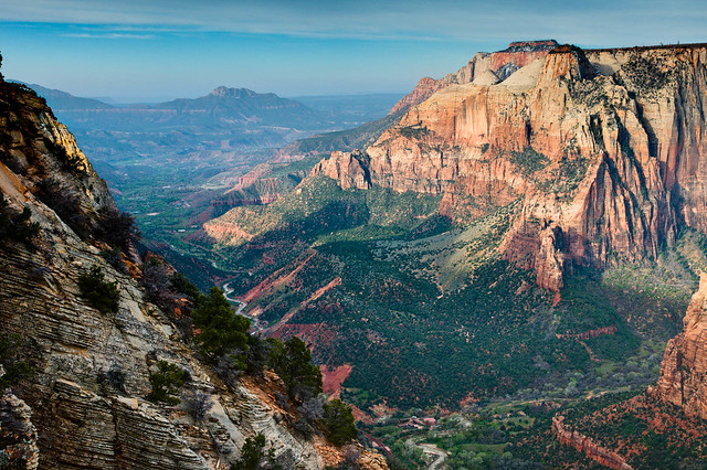
Zion valley from Angels Landing in Zion National Park, Utah
The spattering of snow had made the way up a bit tricky in places but it added to the view. All of our photos taken on this dayhike are on Flickr.
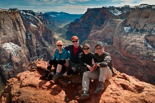
An unexpected treat was running into a fellow who John used to work with at REI and his wife. We spent some time together that evening and by happy accident ran into them again the next day at the trailhead to Observation Point and hiked up with them. It was great for us because, as retired folks who lead a secluded life, we are always on the lookout for people whose ears we can talk off. All of our photos taken this dayhike are on Flickr.
Zion valley from Angels Landing in Zion National Park, Utah
An unexpected treat was running into a fellow who John used to work with at REI and his wife. We spent some time together that evening and by happy accident ran into them again the next day at the trailhead to Observation Point and hiked up with them. It was great for us because, as retired folks who lead a secluded life, we are always on the lookout for people whose ears we can talk off. All of our photos taken this dayhike are on Flickr.
Jean and John with Veronica and Ben on Observation Point, Zion National Park, Utah
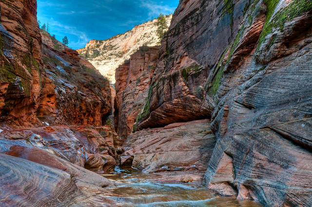
We then did a 3 day/2 night backpack trip up to the East Rim Trail. We first headed up through Echo Canyon.
The trail then climbs steeply out of the canyon. Fortunately there are great views which provided opportunities for John to stop and take photographs and an excuse for me to stop and catch my breath.
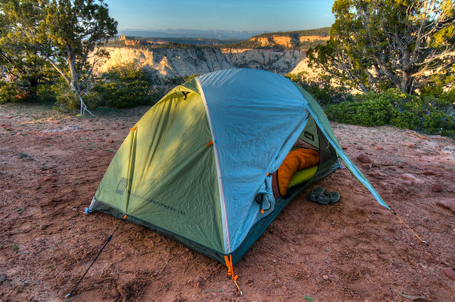
We camped the first night on Cable Mountain.
It got its name from the cable works used in the past to lower timber from the mesa to the valley below. We read that occasionally people used it as a quick way down. I think I'd rather walk.
Cable Mountain provides one with great views of the valley including looking down on Angels Landing.
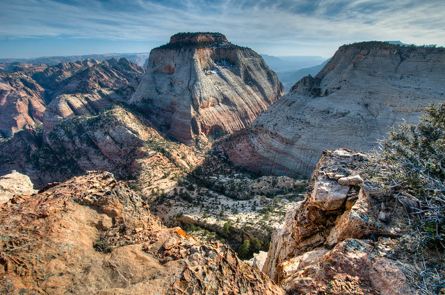
The next day we headed to Deertrap Mountain. There was still snow on the mesas above the canyon but warmer temperatures had begun melting some of it. The result was that trails were quite muddy in places and it was slow messy going at times. Deertrap is unusual for a “mountain” as it has a long narrow, flat top. After setting up camp on the north end ...
... we hiked out to the southern end for views back down the valley.
By exploring around toward the eastern side we got views you can't get anywhere else.
Echo Canyon in Zion National Park, Utah
The trail then climbs steeply out of the canyon. Fortunately there are great views which provided opportunities for John to stop and take photographs and an excuse for me to stop and catch my breath.
Jean on the trail to Cable Mountain in Zion National Park, Utah
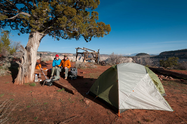
We camped the first night on Cable Mountain.
Our camp on Cable Mountain in Zion National Park, Utah
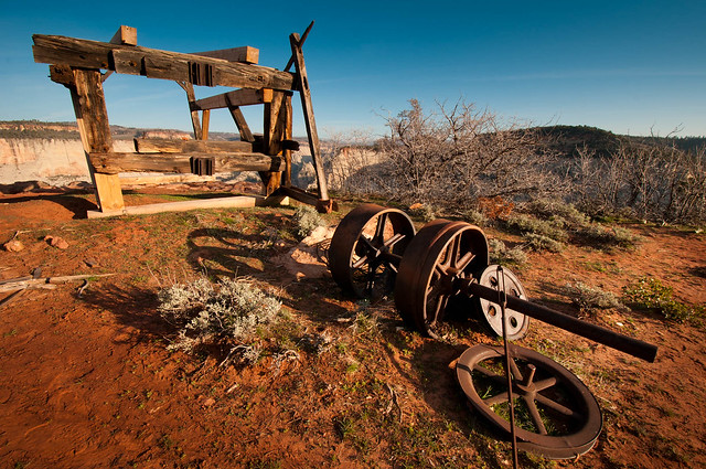
It got its name from the cable works used in the past to lower timber from the mesa to the valley below. We read that occasionally people used it as a quick way down. I think I'd rather walk.
Cable Mountain in Zion National Park, Utah
Cable Mountain provides one with great views of the valley including looking down on Angels Landing.
Angels Landing seen from Cable Mountain in Zion National Park, Utah
The next day we headed to Deertrap Mountain. There was still snow on the mesas above the canyon but warmer temperatures had begun melting some of it. The result was that trails were quite muddy in places and it was slow messy going at times. Deertrap is unusual for a “mountain” as it has a long narrow, flat top. After setting up camp on the north end ...
Our camp on Deertrap Mountain in Zion National Park, Utah
... we hiked out to the southern end for views back down the valley.
Zion Valley seen from Deertrap Mountain in Zion National Park, Utah
By exploring around toward the eastern side we got views you can't get anywhere else.
Seen from Deertrap Mountain in Zion National Park, Utah
Once back at camp we enjoyed yet another view of Angels Landing in the valley below.
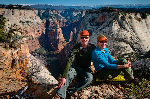
John and Jean on Deertrap Mountain in Zion National Park, Utah
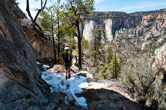
When we hiked out we weren't too surprised to discover that all of the snow had not magically disappeared.
Jean on the trail from Cable Mountain in Zion National Park, Utah
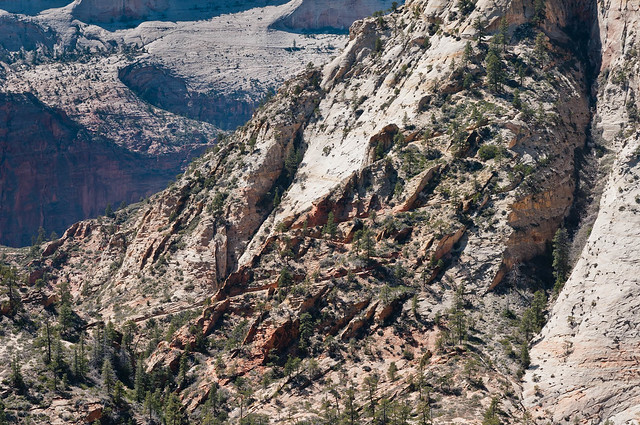
As we descended we got a good look at the Observation Point Trail across the canyon. It is always fun to see trails you have done from a distance. It gives one a great sense of satisfaction.
The trail to Observation Point in Zion National Park, Utah
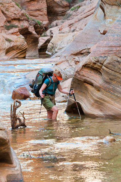
The recent snow melt did create some higher water levels through Echo Canyon so some chilly wading was necessary. All of our East Rim/Deertrap Mountain backpack trip photos are on Flickr.
Jean wading through Echo Canyon in Zion National Park, Utah
Our next adventure was to hike to "The Subway", a dramatic slot canyon named for its tunnel like appearance. The “bottom up” route that we did involves four and a half miles of following the Left Fork of North Creek upstream. There is also a technical “top down” route that requires wetsuits, ropes and utilizes fixed anchors. Permits are required for both routes.
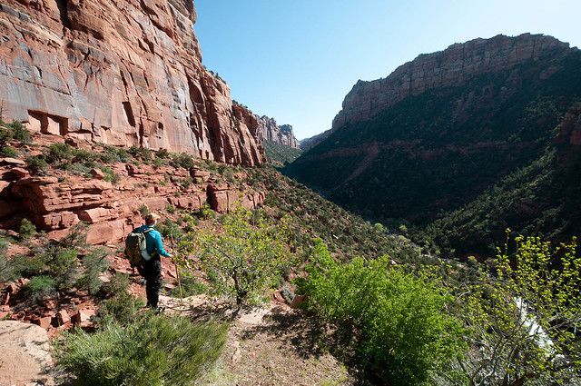
Jean on the route to "The Subway", Zion National Park, Utah
We were aware that recent rain and snow melt could result in higher than normal water levels. In addition it was still early in the season so the water would be quite cold. Whereas many do this route in shorts and sandals during the summer we were advised to rent some essential equipment; waist high “Dry Pants”, neoprene booties and canyoneering boots plus a stout hiking/wading staff. We obtained all from Zion Adventures located in Springdale, Utah.
Jean wearing the "dry pants" while hiking to "The Subway" much more comfortable. Zion National Park, Utah
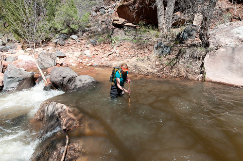
I was anxious at the beginning as our very first crossing involved water that was crotch deep with a current strong enough to knock you down. It didn’t help to have been informed we should be on the lookout for two hikers who had been missing for three days (they were found later that day). Fortunately creek crossings became easier the higher up we got.
Jean doing one of the deeper creek crossings on the route to "The Subway" in Zion National Park, Utah
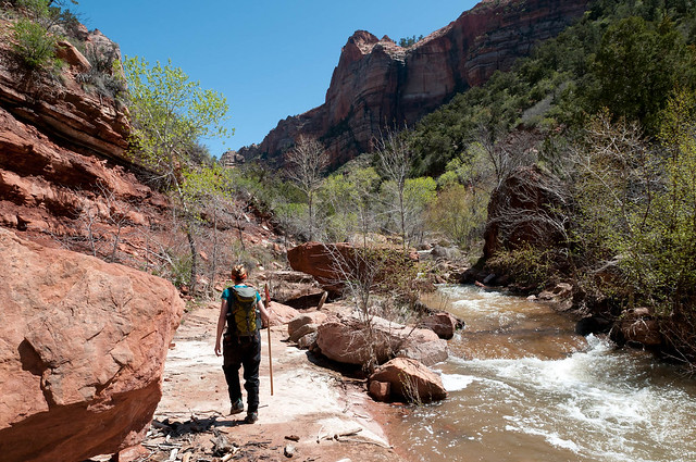
There is no official trail as flash floods would just obliterate it but there are portions of social trails and routes marked with cairns.
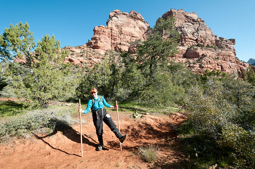
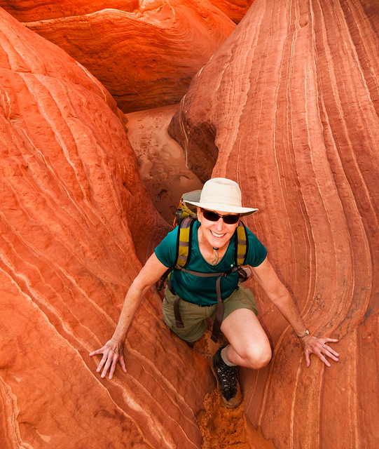
Jean on the route to "The Subway", Zion National Park, Utah
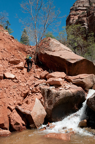
However, one must scramble up/down unstable slopes and cross the deep creek at intervals to bypass obstructions; landslides, rock falls, large boulders etc. All make this hike time consuming. It took us eleven hours to cover nine miles (including food breaks and photo ops).
Jean on the route to "The Subway", Zion National Park, Utah
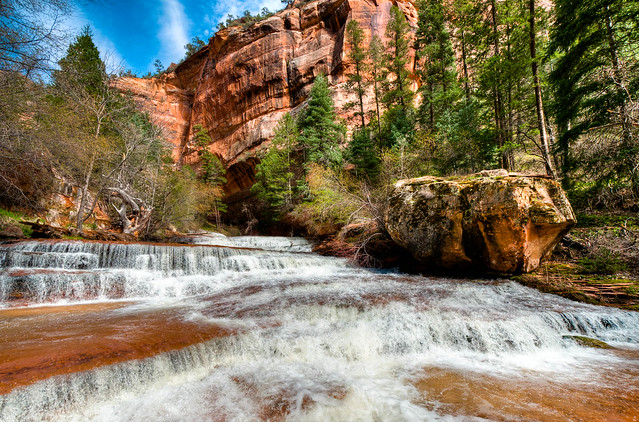
The increased volume of water provided us with an unexpected treat - a series of beautiful wide shallow waterfalls at the entrance of the slot canyon. During the summer this would be just a series of rock ledges.
Waterfall below the entrance to "The Subway" in Zion National Park, Utah
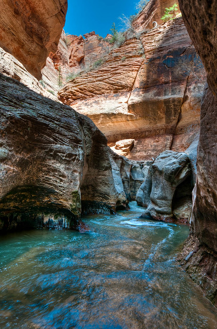
We were happy to finally reach our goal. As the approached the entrance it became obvious how this feature got its name.
Lower water levels in the summer enable hikers to get higher into the canyon by walking on bare rock easily skirting the deep pools.
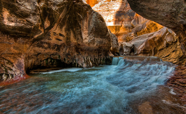
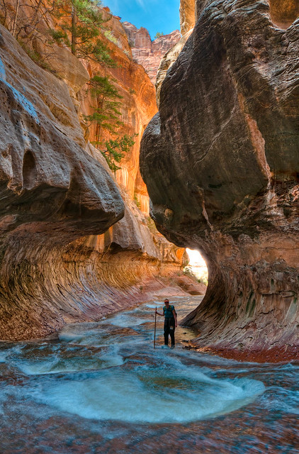
However the higher water levels meant we had to wade through rapidly flowing water over slippery rock, always on the lookout for the now hidden deep pools.
Even though we weren't able to get as high in the canyon as we wanted we were delighted with the experience that we had. All of our "Subway" photos are on Flickr.
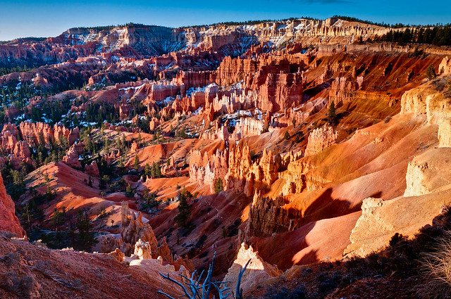
We then headed to Bryce Canyon National Park for a quick visit. Bryce is difficult to describe. The canyon is filled with unique stone formations, called “Hoodoos”, and leads one to think of a forest of stone or a sculpture garden.
Jean approaching entrance to"The Subway", Zion National Park, Utah
Lower water levels in the summer enable hikers to get higher into the canyon by walking on bare rock easily skirting the deep pools.
"The Subway", Zion National Park, Utah
However the higher water levels meant we had to wade through rapidly flowing water over slippery rock, always on the lookout for the now hidden deep pools.
"The Subway", Zion National Park, Utah
Even though we weren't able to get as high in the canyon as we wanted we were delighted with the experience that we had. All of our "Subway" photos are on Flickr.
Jean in "The Subway" in Zion National Park, Utah
We then headed to Bryce Canyon National Park for a quick visit. Bryce is difficult to describe. The canyon is filled with unique stone formations, called “Hoodoos”, and leads one to think of a forest of stone or a sculpture garden.
Bryce Canyon National Park, Utah
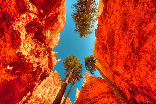
The higher elevation meant colder temperatures and snow, which was beautiful. But poor weather led us to wimp out on doing a backpack trip and we used the one good weather day for a dayhike. Fallen rock had closed some of the trails but we were still able to do a loop hike to some notable features. All of our Bryce Canyon National Park photos are on Flickr.
"Wall Street" in Bryce Canyon National Park, Utah
After leaving Bryce we headed south to spend time in the Coyote Buttes area of northern Arizona. We especially hoped to visit the “The Wave” in North Coyote Buttes. In order to preserve this feature only 20 people are allowed in the area per day and there is stiff competition to obtain the required permits. Ten of these permits are available online three months in advance and ten are made available to people who show up in person at the Paria Contact Station on any given day (this has since changed - one should go to the Grand Staircase - Escalante National Monument Visitors Center in Kanab, Utah) As way more than 20 people want to see “The Wave” a lottery is held to determine the lucky few who can, both online and in person.
Jean at the lottery hoping to win a permit to the North Coyote Buttes and "The Wave"
We decided we could afford to spend five days trying to win two of the coveted permits before heading to Grand Canyon National Park. We developed a routine of getting to the Paria Contact Station by 9:00 AM and entering the lottery. We consoled ourselves the first three days of not winning with exploring nearby scenic areas. We went first to South Coyote Buttes ...
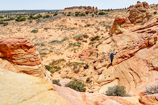
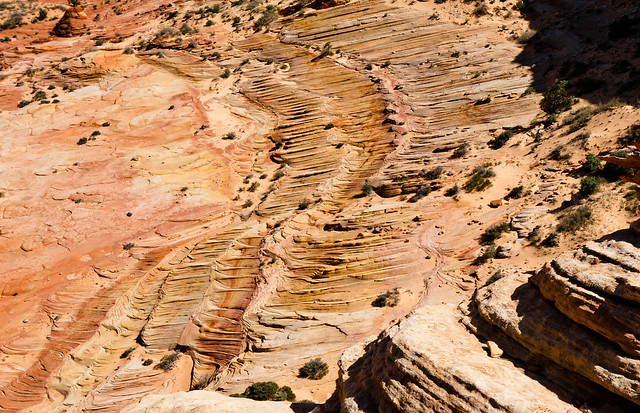
South Coyote Buttes, Arizona
... and thoroughly enjoyed seeing many examples of the delicate sculptures formed with the sandstone. All of our South Coyote Buttes photos are on Flickr.
South Coyote Buttes, Arizona
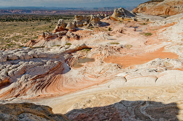
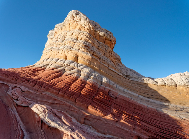
We also visited an area known as “White Pocket" located within the Paria Canyon - Vermillion Cliffs National Monument.
"White Pocket" in Paria Canyon - Vermillion Cliffs National Monument, Arizona
Several years later we revisited this spot and it made me wonder exactly why it was named "White Pocket". All of our "White Pocket" photos are on Flickr.
"White Pocket" in Paria Canyon - Vermillion Cliffs National Monument, Arizona
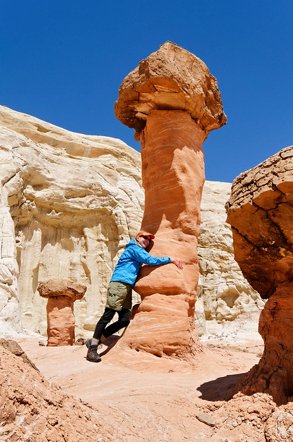
In addition we visited "The Toadstools" within Grand Staircase - Escalante National Monument, home to some very improbable rock formations ...
"Toadstools" in Grand Staircase - Escalante National Monument, Utah
... including one that I became quite fond of. All of our photos of the "Toadstools" are on Flickr.
"Toadstools" in Grand Staircase - Escalante National Monument, Utah
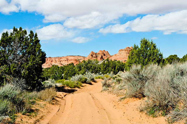
All of this involved driving many miles on four-wheel drive only roads over muddy ruts, across large mostly flat rocks and through sand, lots of deep, loose sand. Our Subaru Outback did phenomenally well and got us everywhere we wanted to go (we did carry a shovel, tent, sleeping bags, food and water just in case).
The road to South Coyote Buttes from Paw Hole
But we were still hoping to get to go to North Coyote Buttes. The fourth morning we entered the lottery happened to be my birthday and I was feeling lucky. We waited expectantly for the drawing to begin and much to our delight (and relief) our number was called first! It was a great birthday present.
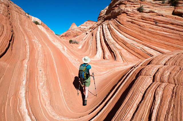
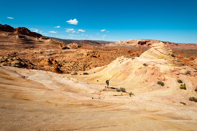
The next day we got an early start. We’d heard that most people hike straight to the wave, take pictures and hang out just a little while before leaving. Therefore, we planned to spend the whole day exploring the area and were in no hurry to get to The Wave itself.
North Coyote Buttes in Arizona
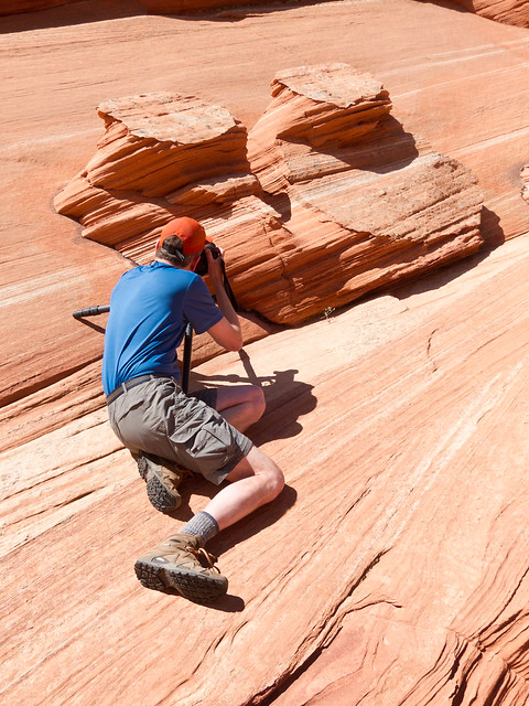
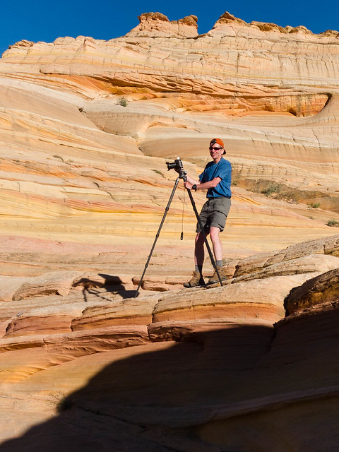
John enjoyed being able to take the time to experiment with his photography ...
North Coyote Buttes in Arizona
... and trying different angles in order to capture the essence of the unusual rock formations.
North Coyote Buttes in Arizona
We passed through the The Wave in order to explore the surrounding area. It was mid day by then and we were not surprised to see nearly all of the other 18 other permit holders hanging around and getting in the way of each other’s photographs. We continued on toward "Top Rock" ...
North Coyote Buttes in Arizona
... which enabled us to see yet more unusual formations.
North Coyote Buttes in Arizona
We then headed back toward The Wave ...
... and John captured this lovely reflection but there were still some people milling around so we continued on.
"The Wave" in North Coyote Buttes in Arizona
We wanted to see a feature called "Sand Cove" but weren't exactly sure where to find it. The wind really picked up, so much that John had to be careful to not lose his camera.
North Coyote Buttes in Arizona
We continued exploring but never really found anything we would call "Sand Cove" unless it referred to a general area. However, despite this (and despite the wind) it was fun exploring all the same.
North Coyote Buttes in Arizona
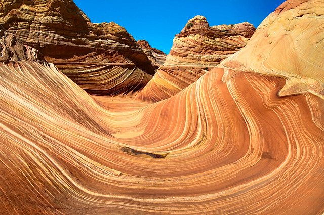
We figured that it was safe to return to “The Wave” and were gratified to see that we had it all to ourselves.
"The Wave" in North Coyote Buttes in Arizona
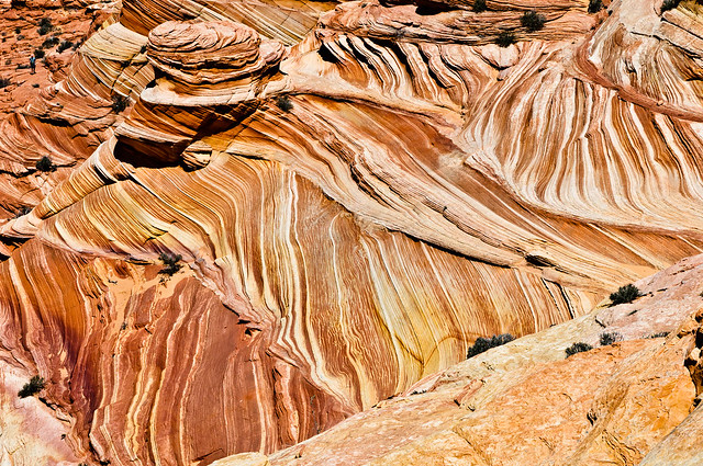
However, there was one more feature we wanted to see, "The “Second Wave”, and John had read that the best time to photograph it was late in the afternoon so before very long we headed there.
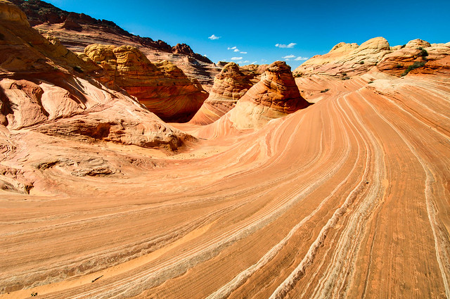
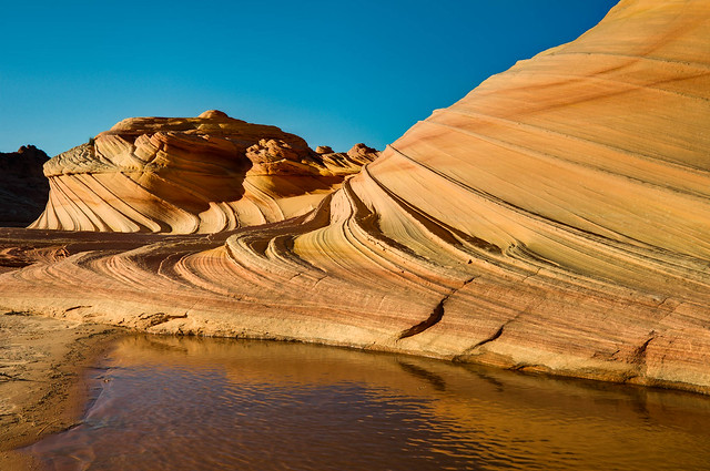
"The Second Wave" in North Coyote Buttes in Arizona
While I love The Wave I think that the Second Wave doesn't get its fair share of attention. But perhaps that is for the best as it will last longer that way. All of our North Coyote Buttes photos are on Flickr.
"The Second Wave" in North Coyote Buttes in Arizona
Our next destination is Grand Canyon National Park.
This next bit is just something that Jean has been thinking about.
To blog or not to blog
When we started making concrete plans to sell our house and become “nomads” the question came up – how would we let friends and family know where we were and what we had been doing. John had already planned to post photos on Flickr, complete with tags and captions, but when a friend suggested we do a blog I decided to give it a try.
I originally thought I would just list where we had been and have it lead readers to John’s photos on Flickr. But I struggled from the start quickly realizing I had no interest or skill in providing trail reports, route information, GPS coordinates etc. That information is readily available elsewhere. Instead, “Where we have been” evolved into a brief overview coupled with some of our impressions of our trips; interesting circumstances, scary situations, etc.
But I also acquired the habit of including something with each posting on topics I found myself thinking about. These were sometimes related to where we had been such as bears and trails. But oftentimes not; marriage and fear for example. This surprised me because while I enjoy the act of writing I had always felt uncomfortable when anyone actually read what I wrote. I’m a shy and private person so it would seem that keeping a journal would be a more appropriate place for this.
However, I have come to realize that writing something beyond “Where we have been” and posting it to this blog apparently meets some need I have. This became apparent last fall when John was so distracted by other responsibilities and overwhelmed with his back log of photos that he didn’t post anything to Flickr for a 4 month period. I found I experienced less pleasure in writing when I couldn’t see an opportunity to post any of it in the foreseeable future. I got pretty grumpy about it.
Of course I could have just said screw the photos and gone ahead and posted to the blog but my compulsive nature wouldn’t allow it. I wanted to maintain the format I’d already established; the “Where we have been” including links to the appropriate sets of photos on Flickr followed by whatever I’d been thinking about. Fortunately for me he finally got caught up.
There are millions of blogs so I’m obviously not alone. I don’t know why anyone else feels compelled to do this but I’m trying to understand why I do. If I look for deep psychological reasons I could say I have a need to be “heard” and to feel “known” by others but being shy makes this difficult for me face-to-face. Our nomadic lifestyle has reduced the number of people we come into contact with and I’m just not as comfortable as John is in striking up conversations with strangers. Don't get me wrong I'm not lonely. I've never been one to have a lot of friends and I now get to spend nearly all of my time with my best friend. Perhaps writing something more personal is just a way for me to maintain a sense of connection with others while maintaining my isolationist tendencies.
One might think that Facebook would meet this need so why don’t I just “Friend” some people and tell them what’s on my mind? Well, I tried it but besides needing more “characters” to say what I wanted to say it just seemed too much like being a little kid again when what I said just got lost in everybody else’s conversations (and I didn't like how people who never talked to me in public school now wanted me as a “Friend”).
But there is definitely a feeling of exposure, at least for me, that comes with clicking “Publish Post”, almost like preparing to go out on a stage naked. Of course it is presumptuous to think that anyone is interested in anything beyond where we have been and wants to know more about me. Just a few months ago I discovered that my siblings weren’t reading my blog and if they weren’t interested in what their sister was thinking about then how could I expect anyone else to be? So maybe I’ve been getting all worked up for nothing. Maybe I have been going out on that “stage” unawares that the auditorium is actually empty.
However, I received some positive comments and gained a little self-confidence. But just when I got comfortable with the idea that a few people we knew were reading what I wrote I discovered that Blogger records stats. Keeping track of things like the referring URLs and keywords searched. But two stats really shocked me – the country of origin of our “Audience” and the number of “Views”. I had assumed our audience would be limited to the US and Canada and to people we already knew or had met during our travels. But to date we have had visitors from 39 different countries and thus far there have been over 4,000 views of the homepage and individual posts. I’m dumbfounded.
Of course a “View” only means that a page has been opened and not that a single word has been read or if read then valued. I know how frustrated I’ve been those times I’ve done a Google Search on a topic and followed a link that took me to someone’s blog. Either I give it quick glance and close it immediately or I try to sift through the verbiage in order to find out if it actually contains any pertinent information. Most of the time I can’t figure out why I was led there in the first place and I end up resenting the waste of my time!?!
I shudder when I think that this is undoubtedly happening to others after following a link that brings them here. For this I am sorry as wasting someone’s time was never my intent. But I guess that is the nature of the Internet. So, to anyone still reading this I say thanks for “listening”.









5 comments:
You're not wasting anyones time with your writings and photos, they're an inspiration! Thanks for sharing them, and likely inspiring a lot of other people, if not to sell their homes to at least ponder about it =) Please keep the wonderful text and photos coming!
Jean and John,
Thanks again for bringing us along on your journey. The destinations are wonderful and the photos just absolutely stunning! But most of all, I appreciate the insights on your chosen way of life and the effects it has on your relationship. Your path is one that I hope Staci and I will be able to travel a few years down the road.
The auditorium is not empty, and I for one, am standing and clapping.
Thanks again,
Brian
Great blog and photos! It's nice to live vicariously through your posts!
Jean and John,
As my wonderful husband stated in his comment, Thank You for sharing your photos, adventures and life experiences with us! We look forward to seeing where you have been and your experiences at those amazing places! We smile every time we read your posts, as we can not wait to be able to lead the "nomadic" lifestyle that you two do!
Congratulations on your 1 year Anniversary and we wish you many, many more! Enjoy your trip to the Grand Canyon!
Sincerely,
Staci
John and Jean,
Many thanks for sharing your adventures of some of my favorite places through this blog. Your photos are spectacular and the comments are very interesting. I'm proud to say I know John well.
Brad Johnson
Post a Comment